Search Constraints

You searched for: Format image/tiff Remove constraint Format: image/tiff Publisher West Virginia & Regional History Center Remove constraint Publisher: West Virginia & Regional History Center Rights Copyright Not Evaluated Remove constraint Rights: Copyright Not Evaluated Subject Topical Monongahela National Forest (W. Va.) Remove constraint Subject Topical: Monongahela National Forest (W. Va.)

Search Results

A stand of second growth poplar trees about 30 years old with an understory of rhododendron on the Elklick Road in the Fernow Experimental Forest.
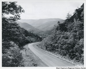
U.S. Route 33 winding down into the mountain-rimmed upper end of North Fork Valley, toward Judy Gap, W.Va.
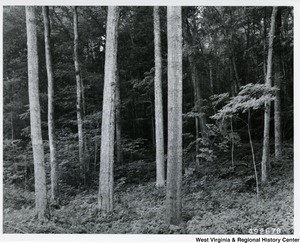
Hardwood saw-timber stand in the Lower Glady Fork area. In this view most of the large trees are sugar maples, except for the large tree in the foreground to the right of center which is a red oak.
Aerial view of Summit Lake. A popular recreation lake that was built cooperatively with the West Virginia Conservation Commission.
A photograph looking up Greenbrier River from Gunpowder Ridge in Greenbrier County, W.Va.
Seneca Rocks as seen from U.S. Route 33.
A photograph of Cheat River near St. George, W. Va.
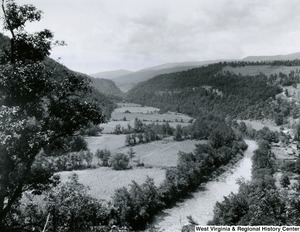
North Fork Valley from Wildcat Hill in the Monongahela National Forest.
Photograph from the base of Blackwater Falls.